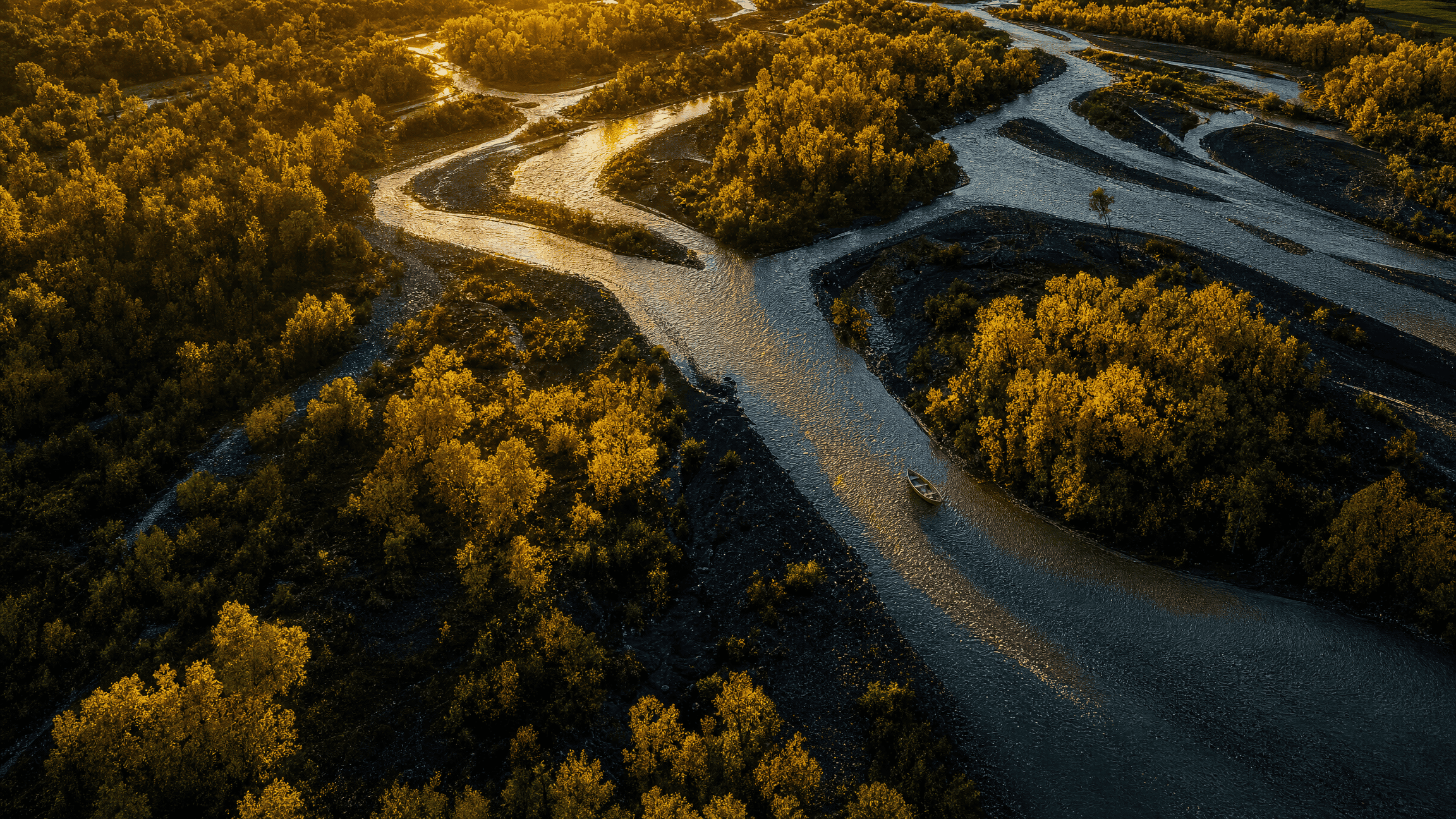
The Bighorn gives you thirteen famous trout miles and three public doors into them: Afterbay, Three Mile and Thirteen Mile.
That changes the trip before a fly ever touches the water. I spend way too much time looking at maps anyway; on the Bighorn, the map is not pre-trip entertainment. It is part of the fishing plan.
The river below Yellowtail Dam is a classic Montana tailwater. It’s cold, clear, productive and heavily fished. It’s also a place where access rules, regulations, slick wading and a lot of very educated trout matter more than a list of twelve “must-have” flies.
Start with the map, because the access is the map
The National Park Service identifies three public access points on the upper thirteen miles: Afterbay, Three Mile, and Thirteen Mile/Bighorn Access.
That isn’t much shoreline for a river with this reputation.
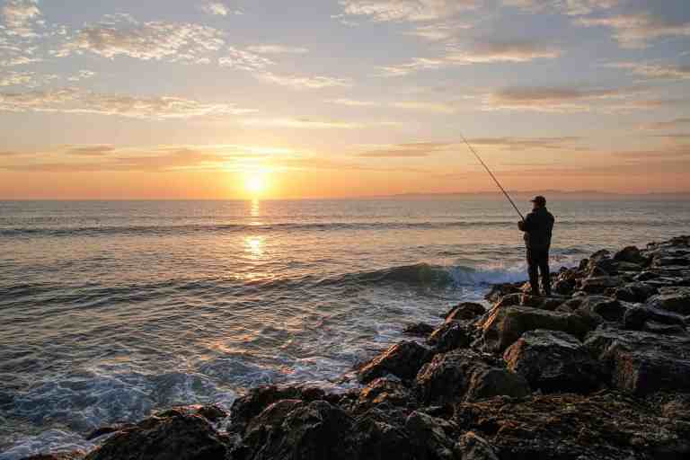
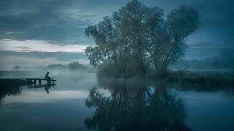
If you’re wading, those access points decide where the day can start and how far you can reasonably explore. If you’re floating, they’re your launch and takeout options. NPS says anglers can float and wade but have to stay below the high-water mark. Access to the surrounding land is limited, and the river being public to fish doesn’t make the land around it public. NPS also prohibits boats with motors on this upper thirteen-mile reach, so plan the float without one.
Check the current NPS Bighorn River page and maps before the trip. A shortcut across land you don’t have permission to cross isn’t a shortcut.
Yellowtail made a different river
Yellowtail Dam turned this reach into a tailwater. Water released from below the reservoir stays comparatively cold and stable, which supports rainbow and brown trout and the aquatic food the Bighorn is famous for.
Stable doesn’t mean identical every day.
Flows, weather, weeds, hatch timing, pressure and water clarity still change the problem. The Afterbay below the main dam helps regulate flows before water enters the river, but this is still a living river, not a conveyor belt with trout bolted to the bottom.
The moving-water basics still apply. Seams, depth changes, current speed, banks and transitions are the useful clues, even on water where somebody can hand you a very detailed hatch chart.
The bottom can lie about the depth
NPS specifically warns that the Bighorn’s rocky bottom is covered with mosses and aquatic vegetation, which makes it slippery and visually deceptive. Water that looks shallow can be much deeper than it appears.
So wade conservatively. Use a staff if it helps and test each step. Another angler crossing somewhere isn’t a reason for you to cross there. Cold clear water can make the bottom look closer than it is, and the vegetation can make footing worse than the view suggests.
The regulation changes 600 feet below Afterbay Dam
The 2026 Montana fishing regulations are valid March 1, 2026 through February 28, 2027, and Montana FWP lists specific exceptions for the Bighorn.
You need a Montana fishing license to fish the Bighorn within the boundaries of the Crow Reservation. The 2026 regulations say a tribal fishing permit isn’t required for the Bighorn River itself.
Gear rules change by section, too. From the cable 600 feet below Afterbay Dam downstream to Bighorn Fishing Access Site, Montana FWP lists artificial lures only. The short reach from Afterbay Dam to that cable, and the water downstream from Bighorn FAS, have different bait provisions under the current rules.
Read the 2026 Montana regulations before you fish, since limits, seasons, closures and exceptions can change. The water-specific regulation check walks through the order: district rules first, then the named-water exception.
The obvious water gets a lot of casts
The Bighorn isn’t a secret. Fish in the most recognizable runs see plenty of anglers.
That doesn’t mean you need microscopic tippet and a fly pattern available only from a guy named Steve. It means sloppy presentations get fewer excuses.
Watch one lane before you cast. Figure out how the surface current differs from the current where the fly actually needs to travel, and shorten the cast if that buys you better control. If fish are rising, work out whether they’re taking on top or just under the film before you change patterns.
Getting the drift under control usually matters more here than the pattern does, and a rise doesn’t automatically mean dry fly.
Bring fewer theories and watch more fish
Tailwaters can make people show up with a shopping list of tiny flies and somebody else’s exact recipe. I would rather arrive with three useful questions than twelve must-have flies, especially on water where access, current and what the fish are actually doing can make the list obsolete before lunch.
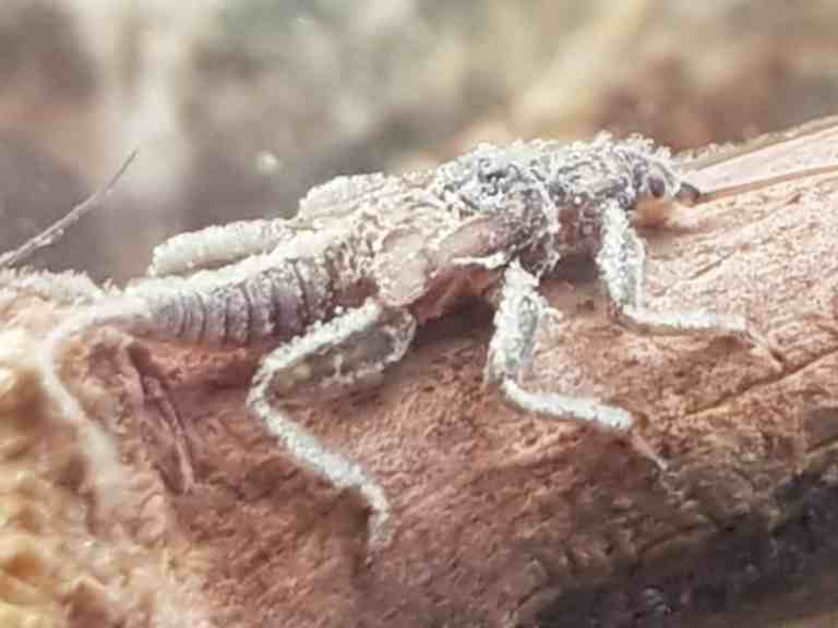
The Bighorn supports midges, mayflies, caddis, terrestrials and other food through the year. Which one matters on your day is an observation problem.
Look at the water. Check the underside of a rock without tearing up the riverbed, and notice shucks on the vegetation. Are fish rising in a rhythm, flashing under the surface, or holding deeper?
Then make the fly box answer what you saw.
The caddis stages and the mayfly spinner fall are two good examples of why “I saw bugs” isn’t specific enough.
Three Mile can be more than a boat ramp
NPS maintains a two-mile round-trip trail from the Three Mile access along the river. That gives a wading angler a legal way to look at more water without inventing an access route through adjacent land.
Stick to established public routes, and respect closures, signs, private property and the Crow Reservation lands around the river. The river’s fame doesn’t move the public boundary.
Fort Smith is the practical base
The North District of Bighorn Canyon National Recreation Area is near Fort Smith, Montana. NPS lists Afterbay Reservoir, the river access sites, camping and park headquarters in this district.
As of September 2026, the Yellowtail Dam Visitor Center is closed, per the NPS visitor centers page. Check current NPS alerts and conditions before driving in, especially if weather, construction, wildfire or facility changes could affect the trip.
Cell service, hours, launches and seasonal facilities are worth sorting out before dark, not after.
The river is famous enough. Your day can stay small.
You don’t have to solve all thirteen miles.
Pick one legal access and learn that piece of river well enough to see the current and the food before the fly box takes over. If the obvious run is crowded, use the public water you actually have instead of squeezing another cast into somebody else’s drift.
The Bighorn has enough reputation already.
FIELD OBJECT
This one should leave the page.
The article is the long version. These are the pieces worth carrying into the next trip.
The 30-second version
The upper Bighorn below Yellowtail is famous trout water with only three public ways in. Plan the day around those doors and the rules before you start worrying about flies.
What to watch
- Start with the map, because the access is the map
- Yellowtail made a different river
- The bottom can lie about the depth
- The regulation changes 600 feet below Afterbay Dam
Field card
- Start with the map, because the access is the map
- Yellowtail made a different river
- The bottom can lie about the depth
- The regulation changes 600 feet below Afterbay Dam
- The obvious water gets a lot of casts
RIGHT TOOL, NEXT
Species & Presentation
Carry the species behavior and presentation question into a narrower water-to-fish-to-presentation handoff.