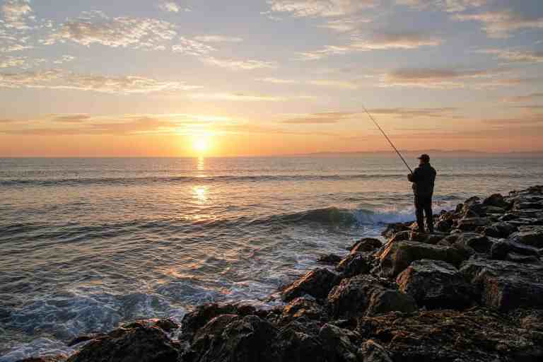
Stand in front of a lake you don’t know and it writes you a list before you’ve tied anything on: points, docks, weeds, coves, open water, a creek arm way off to the left. Every one of them looks plausible. That’s the problem. Plausible isn’t useful, and it’s easy to burn a whole morning proving a lake has too many options without finding out whether any of them hold fish.
FIELD PLATE · ZONES
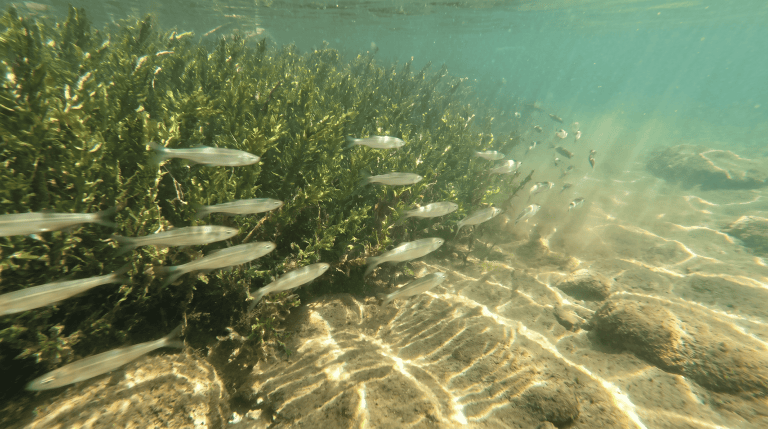
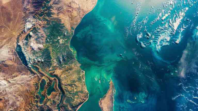
Three zones in the first hour, and here is what the first two look like from the side.
Somebody else’s waypoint doesn’t fix that. What helps is cutting the lake down to how depth, cover, temperature, light, wind and food fit together, and which routes fish use between them, so there’s something specific to test. It’s the same habit as reading water before picking a spot, narrowed down to getting from the whole map to the piece that deserves your first serious casts.
A farm pond and a steep reservoir aren’t the same problem
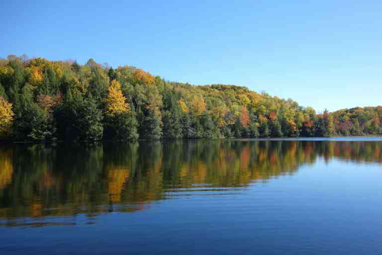
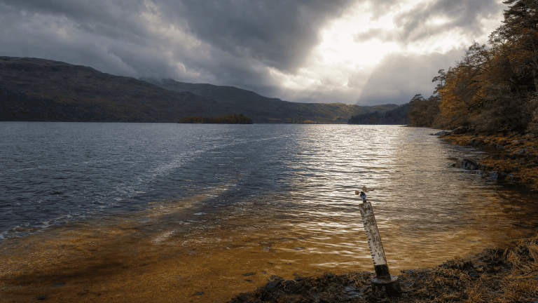
A shallow natural lake, a steep reservoir, a small farm pond and a deep clear mountain lake all get called lakes, and they organize fish in completely different ways. Before picking a spot, figure out what’s actually running the water in front of you.
Is it depth — sharp breaks, basins, channels, long flats? Are weeds building the main cover and edges? Is it hard structure like points, reefs, riprap, timber and docks? Is anything making current, whether that’s an inflow, an outflow, a narrows, a dam release, or just wind shoving water across the place? And what’s the temperature doing: warming, cooling, layering, mixing, or showing one end different from the other?
Nobody needs a taxonomy lesson on the bank. You need to know what’s moving food and what’s giving fish depth, cover, the right temperature and a way out. A river sorts fish with current instead, which is its own read, and a lake’s elevation and latitude shift the calendar on everything here, which is why borrowed advice goes sideways.
A reason to pick one cast over another
A long featureless flat can hold fish. It just doesn’t give you much reason to prefer one cast over the next. A point dropping into deeper water, a weed line ending beside a channel, rock turning to sand, a creek arm meeting the main lake — those hand you a question you can actually answer.
Fishing the change instead of the empty middle gets into why transitions make good starting points. The edge only matters because something changes across it: food, cover, depth, shade, current, or a route between two useful spots.
Depth, but connected
Don’t shrink a lake to one magic number. Fish use the top of a break, the slope, the base, the flat beside it, or none of that — suspended off the edge in open water.
What you’re after is connected depth. A shallow feeding area with deep water right beside it tells you more than an isolated flat ever will. A weed edge that quits near the first break gives fish cover and an exit in one spot, and a point running out toward a basin can hold fish in different seasons on the same piece of structure.
So when a fish comes from twelve feet, write down what twelve feet was doing. Outside weed edge? Shaded side of a point? Top of a rock break? The first stable water past a warming bank? That description will still make sense on the next lake. Twelve feet won’t.
Put the season on top of the map
The same lake is basically a different problem every season, and The Same Lake Has Three Different Personalities takes that apart properly. For finding fish, the short version is that the season rearranges which water is comfortable and close to food.
In spring, protected coves, dark bottom, inflows, new weeds and shallow flats warm at their own rates, and activity tends to follow. Those same shallows dump heat after a cold night, a wind or a front, so compare a likely warming spot against the nearest steadier depth or structure instead of pounding every shallow bank because the calendar says spring.
Summer pushes depth up the list without making deep water useful on its own. Fish still need food, oxygen, cover and a route, so the good zones usually stack a couple of things together — healthy grass against a depth edge, shade over cover, wind on bait, current bringing cooler water, a basin edge under suspended bait.
Fall takes cooling water, changing weeds, wind and moving bait and makes summer spots unreliable. Grass that’s still green gains on everything else, and so do rock, points, channels and wind-hit routes. A weed line that was good three weeks ago doesn’t get fished on reputation. Go see whether it’s still green, still standing and still next to something.
Winter is mostly a local question
Cold-water patterns change a lot by region and species, and I haven’t fished close to every version of it. Slower metabolism, ice where there’s ice and fewer weeds can make deeper or steadier water worth comparing.
Past that, local regulations, ice safety, oxygen conditions and how the species behaves where you are matter more than any winter rule of thumb I could hand you. Check them before you go, every time.
Temperature should move the search, not run it
One thermometer reading by itself is weak location information. The better question is where the water is different, and whether that difference lands on habitat and food.
Reading temperature transitions covers measuring and what the numbers mean. For finding fish, compare the spots likely to warm, cool or hold steady at different rates — protected coves, inflows, shaded banks, windblown shoreline, deeper water, anywhere current is involved. How those shifts move the fish is its own piece.
Wind
Wind changes the light on the surface, how water moves, boat control, clarity, and sometimes where bait piles up. A windblown point or shoreline can turn on when bait and structure overlap. It can also be close to impossible to fish accurately, and there’s no shortage of casts wasted learning that one.
Fish one exposed piece, one protected piece and the seam between them. That tells you more than deciding from fifty yards away that the windy bank looks good. And if you can’t control the presentation or safely hold position, it isn’t useful water that day, however good it looks.
Time of day changes the light before it changes the geography
Dawn and dusk matter, especially for fish that use low light to move and feed with more confidence. The lake doesn’t empty out at noon, though. Midday shade, clouds, chop, current, boat traffic, a hatch or bait suspended over nothing can beat a calm sunrise. Why the best window isn’t always dawn or dusk goes further with that.
Forage, without chasing every splash
Baitfish, bugs, birds, dimples on the surface, crayfish rock, a predator busting the same corner twice — any of it narrows the search fast. Surface commotion only helps if you can say what’s happening under it.
When fish suddenly start eating, ask what changed: wind, light, bait position, bugs, current, or access to one particular edge. When the lake suddenly starts feeding is about handling that moment without losing the window to it.
Three zones in the first hour
On water you don’t know, pick three contrasting zones that answer one idea, not six spots that answer nothing.
Start at the most obvious habitat intersection you can find, like grass meeting a drop or rock meeting a channel edge. Then fish a nearby version of it with one big condition changed — more wind, more shade, a different depth connection. Last, go to something that contrasts outright: protected against exposed, or shallow cover against the first stable break.
Use a presentation you understand well enough to control depth and speed, and hold enough still that the difference between zones means something. Making your first hour on new water answer one question lays out the full sequence.
From shore, access is part of the map
You can’t reach every contour from the bank, so where you’re allowed to stand becomes part of the map instead of something to complain about. Look for spots where useful depth swings close: points, steep banks, channel swings, bridge areas, outside bends in reservoirs, riprap, docks where that’s legal, inflows, weed edges you can reach.
And if you’re on the bank watching boats idle past and feeling like they’re playing a different game, they aren’t. They’re testing the same things with more of the lake in reach, and plenty of what they try doesn’t work either. Build the best map your access will support, and don’t spend the day staring at an offshore hump you can’t get to.
From a boat, don’t park on the answer
More options, more ways to wreck them. Set up so the cast or the drift runs through whatever you’re testing, instead of floating the boat over shallow fish or dragging every retrieve across the feature at an angle nothing wants to eat.
Electronics show depth, bait, bottom hardness and structure. They’re for finding things worth testing, not for turning every mark on the screen into a fish you already caught in your head.
When it works, prove it somewhere else
When a fish eats, write down what kind of spot it was before you save the waypoint. Then go find that same kind of spot elsewhere on the lake and see whether it happens again. That’s the difference between a pattern and a coincidence you’re about to spend all afternoon defending.
By the end of the first hour, you want to be looking at a couple hundred yards of shoreline instead of the whole map. Pick the change that makes the most sense, fish it cleanly, and let the next cast decide whether the idea earned another one.
Sources
This leans on broad habitat relationships, not species-specific promises. The temperature, oxygen, reservoir-habitat and cover claims were checked against USGS and U.S. Fish and Wildlife Service sources, but a local population can still use the same-looking water differently. The Research and Standards page covers how uncertainty gets handled.
- USGS — Temperature and oxygen in Missouri reservoirs
- USGS — Fish habitat degradation in U.S. reservoirs
- U.S. Fish & Wildlife Service — Largemouth Bass habitat
FIELD OBJECT
This one should leave the page.
The article is the long version. These are the pieces worth carrying into the next trip.
The 30-second version
A lake full of points, docks, weeds and coves isn’t handing you options so much as homework, at least until you cut it down to a few spots that can actually tell you something.
What to watch
- A farm pond and a steep reservoir aren’t the same problem
- A reason to pick one cast over another
- Depth, but connected
- Put the season on top of the map
Field card
- USGS — Temperature and oxygen in Missouri reservoirs
- USGS — Fish habitat degradation in U.S. reservoirs
- U.S. Fish & Wildlife Service — Largemouth Bass habitat
RIGHT TOOL, NEXT
Species & Presentation
Carry the species behavior and presentation question into a narrower water-to-fish-to-presentation handoff.