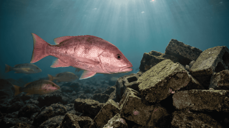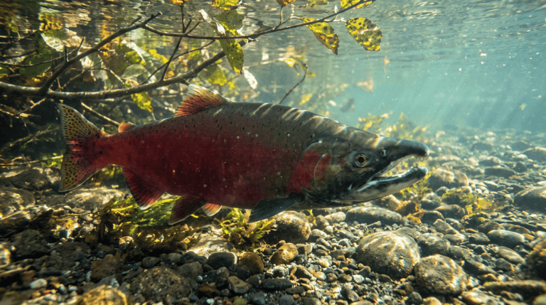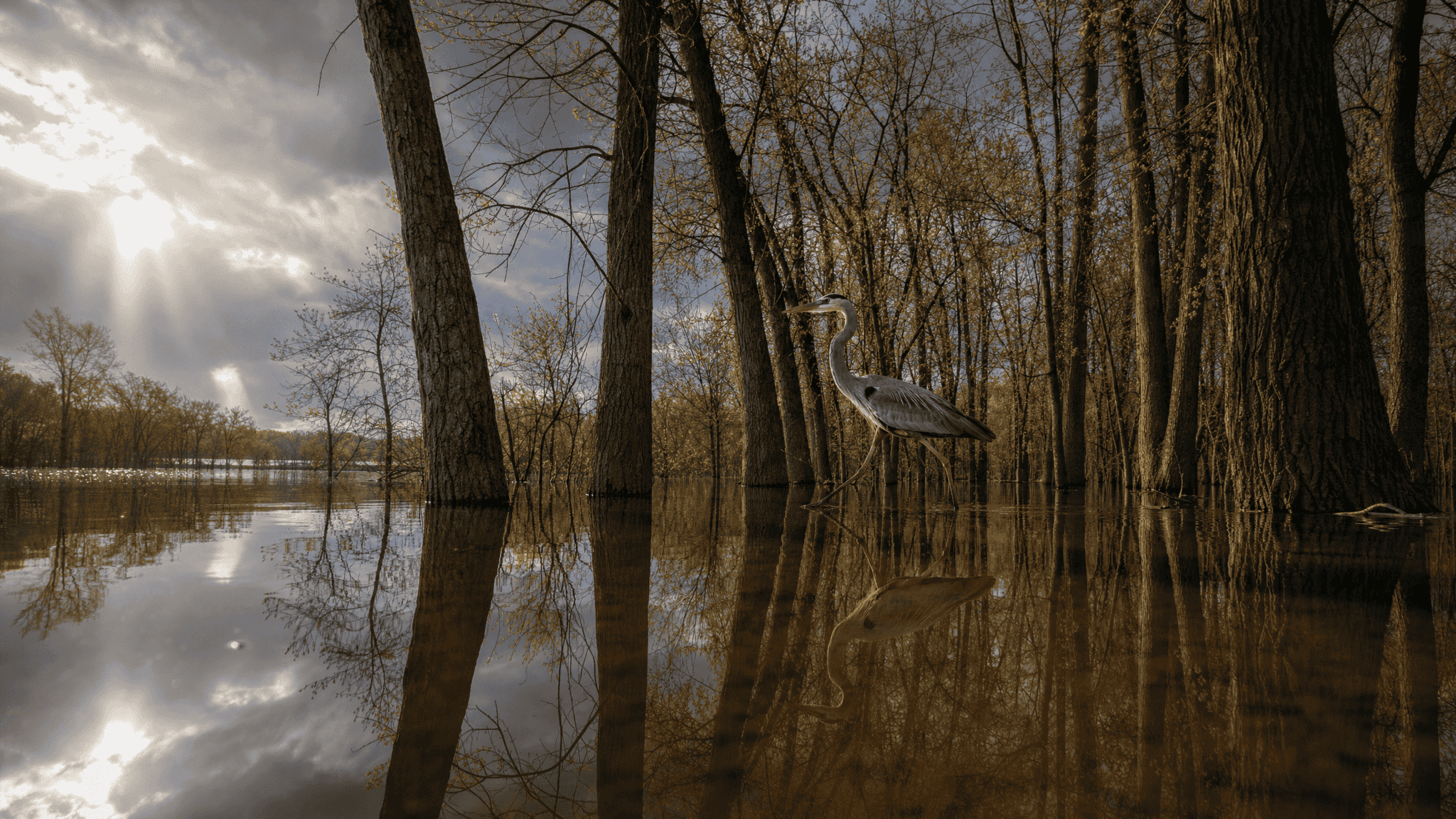
Six feet up the bank from a backwater that’s barely wet in August, there’s a flood line. That line is telling you what the August version of the place can’t.
FIELD PLATE · THE EDGE
The shallow edge is doing work you cannot see.
In spring, that same ground may have been underwater and working as habitat. Wetlands, floodplains, side channels, sloughs, tidal marshes and backwaters are easy to file as the stuff beside the real water — what you walk through to reach the channel. The fish don’t use that filing system. When water rises, those edges can turn into feeding areas, nursery water, refuge from the current and a link between the river and its food web.
The map in an angler’s head is usually smaller than the one the fish are using.
Water that spreads out can do useful work
Floodplains give high water somewhere to go. Wetlands can store floodwater, slow runoff, trap sediment and hold or transform some nutrients, and EPA credits them with improving water quality, providing habitat and supporting streamflow during dry periods.
None of that needs a famous sport fish living there year-round. The value can move downstream or show up during one critical life stage, which means you can fish right past it and never know it did anything for you. Judging a backwater by the one afternoon you happen to walk beside it misses most of the story.
Young fish often use different water than adults
Juvenile fish often need shallow, protected, food-rich water — the kind that’s boring if you’re looking for something to hook. Coastal wetlands and estuaries serve as nursery habitat for species that later move into open bays, rivers or offshore water, and freshwater floodplains do something similar when rivers rise and reconnect the side habitat.
Protect only the water where you catch adults and you can end up ignoring the water where those adults survived being an inch long.
Flooding isn’t always the disaster it looks like
Floods wreck property and create real hazards. They’re also a natural process in a lot of river systems, and fish and floodplain ecosystems evolved with water leaving the main channel now and then. Levees, channelization, development and cut-off floodplains shrink that seasonal exchange. In some places, restoration reconnects side channels or allows controlled flooding where it’s safe and practical.
Not every flood is good. A river boxed permanently between hard banks does lose the processes that used to build habitat, move sediment, spread nutrients and make quieter water off the main current.
Connection can matter more than acreage
A wetland can look intact from a satellite and still be cut off from the river by a road, a levee, a perched culvert or an undersized crossing. If fish can’t reach it when they need it, a lot of that acreage isn’t doing much for them. It works the other way too: one small side-channel opening can reconnect a surprising amount of ground at the right flow.
That’s why good restoration work leans on hydrology and connectivity instead of just digging more standing water.
Wetlands make runoff take the slower route
Water moving through plants and wet soil gets more chances to drop sediment and meet plants and microbes than water racing off pavement into a storm pipe. Wetlands can’t absorb unlimited pollution, and one pushed past its limit gets damaged like anything else. Still, keeping them is part of keeping nutrients and sediment from hitting lakes, rivers and coasts all at once — habitat protection happening upstream of your cast, whether you ever see it or not.
Drying a wetland can change the whole edge
Filling or draining a wetland can remove shallow habitat, change how groundwater and surface water connect, speed up runoff and cut flood storage. How much depends on the site and the watershed. One small wetland looks expendable when somebody’s only looking at their own parcel, and a watershed can lose a lot of function through a pile of small losses that each seemed fine on their own.
Backwaters aren’t just slack water
Most of us learn backwaters as the place to find fish getting out of heavy current, and sometimes that’s exactly what they are. Ecologically they can do more. Slower water warms differently, grows different plants and invertebrates, collects organic material and gives fish somewhere to ride out high flows.
That doesn’t make every stagnant pocket good habitat. Low dissolved oxygen, too much heat, pollution, invasive plants or plain disconnection can make a backwater lousy water for fish. The better question is what the side water connects to, when that connection happens, and what it offers once the main channel gets rough.
Restoration should reconnect function, not just make a pond
A wetland or floodplain project has to fit the hydrology it sits on: water depth and timing, soil, vegetation, connection to channels, invasive species, the land around it. Digging a hole and planting cattails gets you a pond, not a wetland.
A restored floodplain that never reconnects at useful flows is mostly landscaping. A side channel reconnected too aggressively can cause erosion or infrastructure problems. The design has to follow the river that’s actually there, not the one in the brochure.
Wetlands also need room to move
Along coasts and shifting river systems, wetlands can migrate as water levels, sediment and shoreline position change. Roads, seawalls, development and steep ground can leave that habitat nowhere to go, which makes future conservation partly a space problem. Protecting today’s marsh edge is useful. Leaving room for tomorrow’s edge can matter just as much.
The seawall and living-shoreline piece runs into the same inconvenient fact from the hard side: a fixed line on a property map doesn’t mean the water agreed to stay beside it.
Reading the land beside the water
Scouting a river or a coast, the side features deserve as much attention as the channel — old channels, marsh edges, connected ponds, tidal creeks, low floodplain benches. They show where water goes at high flow and where food and young fish might move with it.
The first time you try to read a floodplain, it mostly looks like brush and mud. Start with the debris line. It’s easy to find and hard to argue with, and once you’ve got it, the water marks, side-channel entrances, culverts, shallow cuts and changes in vegetation start making more sense as the route water takes at another stage.
A wet-looking path isn’t automatically public or safe to walk, so check it against current maps, access rules and closures from the managing agency before you wade a side channel. And if fish stack up in a piece of nursery water at one time of year, that’s a spot that doesn’t need to end up online.
The future fishery needs room to get wet
Development, flood-control decisions, restoration, drought, storms and shifting water levels will keep redrawing the line between channel and floodplain, and whether wetlands stay connected shapes both water quality and habitat.
Protecting every wet acre isn’t realistic. Writing off every wet acre as wasted ground is worse, because it grades those places on the one moment an angler happens to see them. Same premise as Stewardship: the fishery that holds up needs the marshes, side channels and backwaters on the map, not just the deep blue water where an adult fish might eat today.