A GPS will take you straight back to last season’s numbers. It has no idea the water there ran warm for months and the bait moved on. The fish may well have gone with it, and a marine heatwave can pull that off across a whole coastline at once.
Marine heatwaves are extended stretches of unusually warm ocean. When one covers a big area or hangs around for months, fish and the food they depend on can shift north, deeper, offshore, or into places neither anglers nor managers expected. So the future probably isn’t just fewer fish or more fish. It might be familiar fish in different places, showing up at different times, with the same old ports and regulations trying to catch up.
What a marine heatwave actually changes
Warm water moves the comfortable zone
Fish have temperature ranges that affect metabolism, feeding, growth, reproduction and survival. Mobile species can respond by moving when the habitat they need shifts somewhere else.
It isn’t a clean line on a chart, though. Currents, prey, oxygen, depth, spawning needs and local habitat all shape where fish actually end up. Temperature moves the map; it doesn’t draw the whole thing.
Not one hot afternoon
A marine heatwave is identified against what’s usual for that place and season, not one universal number every ocean has to cross. Water that stays unusually warm for months can matter even if the raw reading would look ordinary somewhere else.
How long it lasts matters too. A short warm pulse can pass before a food web reorganizes. Persistent heat can overlap migrations, spawning, plankton production, harmful algal blooms, or seasons when fish are already dealing with low oxygen or heavy fishing pressure. A daily sea-surface-temperature screenshot is a first clue. The anomaly, the depth, the duration and where it lands in the fish’s year carry most of the story.
Recent West Coast heat
NOAA reported in March 2026 that a large marine heatwave had persisted across a major portion of West Coast waters — notable for its size and duration, and not simply an El Niño event. NOAA scientists have been tracking how that warmth affects plankton, salmon, forage, harmful algal blooms and where species show up.
One heatwave doesn’t predict every future season. It does show the moving-habitat problem that long-term ocean warming can make a lot more consequential.
When the fish show up somewhere new
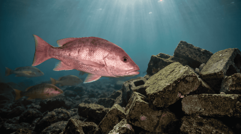
Fish can shift into a new area faster than infrastructure or management can follow. Harbors may not have the right handling facilities, anglers may not have any local experience with the species, and regulations and surveys can still be based on the old distribution. NOAA has documented warm-water-associated species showing up farther north during major heat events.
A strange fish at the dock is exciting, and I’d be down there looking at it with everybody else. It’s also a management question, and excitement doesn’t answer those.
The fish that leave matter just as much
Range shifts can cut communities off from species they depend on. A town built around salmon, albacore, crab, squid or another fishery can’t pack up and follow the water north. Recreational anglers have more flexibility than a processing plant does, but boats, fuel range, safe access, weather and local knowledge still set real limits. Where somebody ties on a lure changes, and the economics and culture change right along with it.
Depth can change before latitude does
When surface water gets unusually warm, some species use deeper water instead, if oxygen, prey, bottom habitat and pressure allow it. That can make fish look like they disappeared from familiar grounds when they barely moved sideways.
That’s a different fishing problem. More depth can mean different tackle, longer runs, different release practices and a lot more attention to barotrauma in species that are vulnerable to it. Your coordinates can be dead right and still be wrong about the layer that matters.
Predators and prey don’t always move together
A predator can tolerate warmer water and still lose access to the prey it needs. Plankton communities shift, forage moves, and the timing between predators and prey can slip out of sync. “The water’s two degrees warmer” is an incomplete fishing prediction by itself; what matters is what the whole food web did with the change. A predator staying in the same region doesn’t mean its prey stayed the same in quality, abundance or seasonal timing.
Heat rarely shows up alone
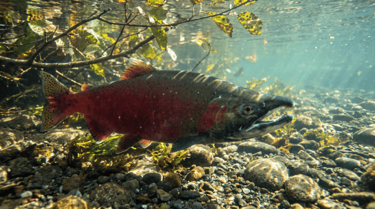
Warm conditions can pile onto low oxygen, harmful algal blooms, disease, acidification, drought-driven river conditions and fishing pressure at the same time. Salmon make the point clearly: ocean and freshwater conditions both affect survival at different life stages, so a bad ocean year and a bad river year can land on the same fish. Fish don’t get their stress one chapter at a time, and management can’t afford to handle it that way.
Management has to move with the fish
One unusual catch is a clue, not a range map
An unfamiliar species at a dock deserves attention, especially with a clear photo, a date, a location at a reasonable public scale and a confident identification. It doesn’t prove the species established a permanent range there. Fish wander, currents move larvae, and warm-water events bring temporary visitors. Repeated observations across seasons, scientific surveys, catch records and environmental data are what show a lasting distribution change. The population didn’t relocate because one photo got a lot of shares.
Rules built on old maps
Stock assessments, surveys, regulations and international agreements often lean on geographic assumptions from historical distributions. As ranges shift, managers may need to survey new areas and rework how catch, habitat and abundance get evaluated. That doesn’t mean rewriting the regs every time the water warms a little. It means catching persistent distribution changes before management stays anchored to a map that stopped being true.
And if the fishery crosses state, federal or international boundaries, it can turn political long before the fish notice there was a line.
Ports can’t migrate
A moving fish population creates winners and losers along a coast. One region may gain access while another loses the species its boats, businesses, processing, traditions and seasons were built around. Adaptation can mean new target species, different gear, changed seasons, better forecasting and more flexible infrastructure, and none of that happens instantly. A safe harbor, fuel dock, processor, charter business or tribal fishery is tied to a real place on the map, not a species range. Whether somebody, somewhere, can still catch the fish is only part of the question.
What anglers can contribute without pretending to be a survey fleet
I’m mostly reading NOAA on this one, not my own logbook. But angler logbooks are where some of this gets noticed. Catch logs, unusual-species reports, photos that show good identification features and taking part in agency programs can all add real information, especially when they document something unexpected clearly instead of dramatically.
When a reporting program asks for conditions, give them the ones it asks for: surface temperature, depth, date, a rough public region, what the prey was doing. That’s what turns a trophy photo into an observation. You don’t have to be sure what the fish is to report it well, either — a sharp photo of the fins and mouth is worth more than a confident guess. Keep sensitive locations and private access out of it, and send agencies the detail they request through their actual reporting channels, not a public post.
“Local fish” may become a moving category
A species that feels unusual on a coast today could be regular later. Another that once defined the local season may stop being reliable. What holds up is protecting habitat corridors, reducing other stressors, keeping the monitoring going, and building management flexible enough to follow the fish instead of expecting them to follow a memory of where they used to be.
Heat isn’t the only invisible change out there. The Ocean Chemistry Is Changing Even When the Water Looks the Same covers acidification, and The Sky Can Settle Down Before the Water Does runs the same conditions-outlast-the-forecast idea a lot closer to shore.
Finding where the fish went has always been the job. A marine heatwave stretches that same puzzle across an entire coastline and hands a big piece of it to the people writing the regulations.