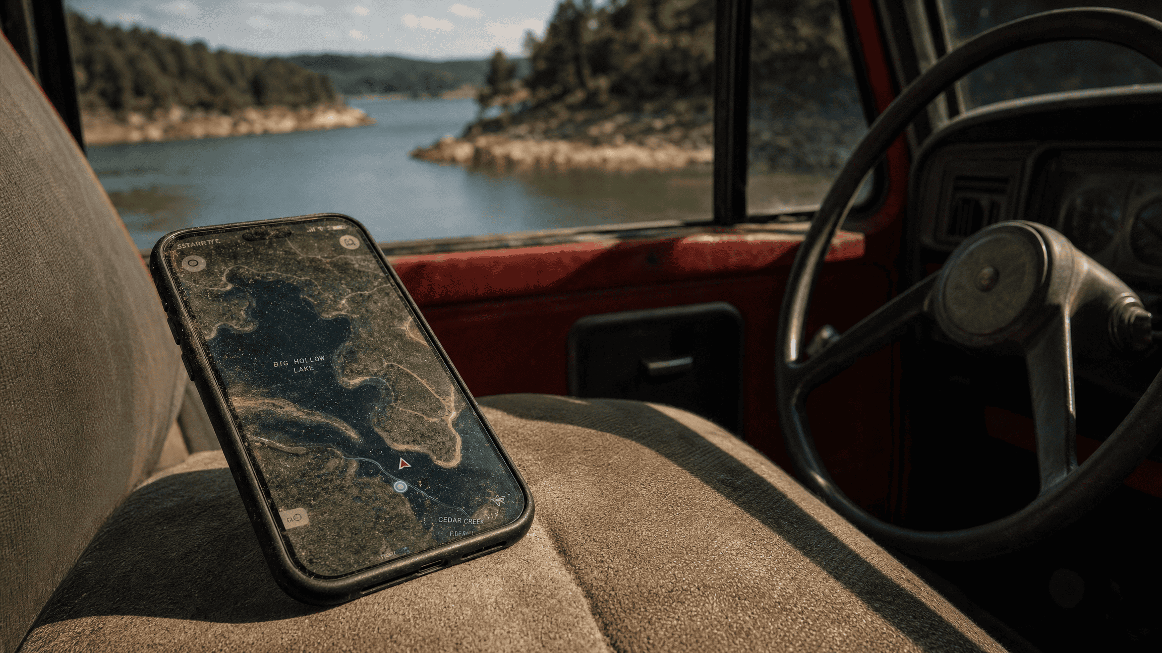
The first thing I look at on a satellite image isn’t the water. It’s the capture date, tucked in a corner somewhere, because a reservoir photographed at winter drawdown and the same reservoir in June are basically two different lakes.
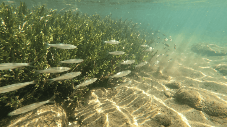
That’s not a reason to ignore the old image. A low-water shot shows bottom contours, standing timber and old creek channels that summer water hides, so two images at different levels beat one perfect one. Weed beds move too. They come and go by season and by year, and a green mat in a five-year-old image is a guess, not a weed bed.
What the view from above is actually good for
Relationships. From the bank you see fifty yards of shoreline and guess at the rest. From above you can see that the point you were going to stand on is the last hard shoreline before a mile of shallow flat, or that the creek arm you planned to walk narrows to nothing three hundred yards up. Points, coves, creek mouths, riprap and shade lines all show up faster from the air, but how they sit next to each other is what’s worth the scrolling.
Every feature is a question
I write them down as questions on purpose. Does that creek mouth still have water in it come August? Is that road public, or does it dead-end at somebody’s gate? Does the bank I circled leave room to cast, or is it a wall of brush the picture didn’t show? Is that a gravel bar or a mudflat? The image can’t tell you, and the difference decides whether it’s worth the walk.
Answer them in order of what wastes the most time to get wrong, which puts access first. A spot you can’t legally reach isn’t a spot, and access is its own problem a map won’t solve. From there, turning map clues into a real research plan gets you a lot further than staring at pins.
What I don’t do with it
I don’t publish coordinates for what I find, and somebody else’s shared pin isn’t scouting. Reading the map yourself builds the part that travels — recognizing the shape of good water on a lake you’ve never seen. No pins get dropped here for the same reason: a coordinate hands over one spot and teaches nothing, and if the spot’s fragile, it can end up closed for everybody.
FIELD OBJECT
This one should leave the page.
The article is the long version. These are the pieces worth carrying into the next trip.
The 30-second version
Satellite imagery shows how a shoreline fits together faster than any bank can. Every feature it turns up is still a question, and access is the first one to answer.
What to watch
- What the view from above is actually good for
- Every feature is a question
- What I don't do with it
Field card
- What the view from above is actually good for
- Every feature is a question
- What I don't do with it
RIGHT TOOL, NEXT
Field Sense Navigator
Take the article’s water or access question into a place-specific conditions and route check.