Color is what throws people about this stretch of the Missouri. By midsummer it runs broad and a little murky, nothing like the clear water most folks picture when they plan a Montana trout trip, so plenty of them keep driving toward the blue-ribbon water near Craig. That’s a fair reaction to the color. It’s a bad reason to skip the place.
FIELD PLATE · CURRENT
Read the speed change before the spot.
Trout aren’t the headline
On paper it’s managed as a wild trout fishery. In practice, trout aren’t really the story. Walleye and northern pike are what people come for, and there are enough carp on the flats to support a real summer fly-fishing scene of its own. That sounds like a punchline until you watch somebody who knows what they’re doing work a carp flat, and then it mostly just looks hard.
Trout numbers have been sliding since the ’90s on warmer water and lower flows, and the ones still around tend to huddle near cold-water refuges: springs, and the mouth of Sixteenmile Creek, the biggest tributary on this reach (mostly private, naturally). Every fall a few trophy browns still push up out of the reservoir into this stretch, so the trout angle isn’t completely gone. It just isn’t the plan.
Two ramps and a lot of public bank
Toston and Fairweather are the two main public entry points, both FWP sites with gravel ramps. The part that gets my attention: more than two-thirds of both banks between Toston Dam and the town of Toston are public — mostly BLM, some state — which makes it one of the more walkable pieces of the whole river. You’re not spending the day squinting at posted signs.
If you’re floating, plan around the small hydropower dam below Toston Dam. It blocks upstream travel, so the route has to work around it, not through it.
Keep the pike, let the browns go
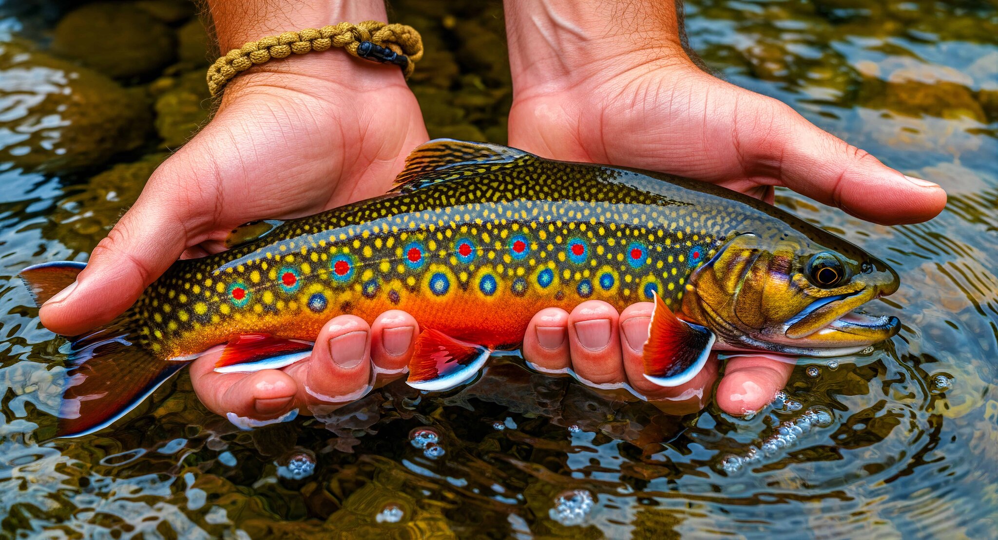
Brown trout are catch-and-release only through this stretch, with one exception I really like: anglers 14 and under can keep one of any size. That’s a small door left open on purpose. Bring a kid along, and the first brown they’re truly proud of can go home with them instead of just into a photo.
Walleye run a 10-fish daily limit, only one over 15 inches. Northern pike have no limit at all — FWP wants pressure taken off the pike here, so keeping them is doing the fishery a favor. Localized spawning closures run March 1 through June 15 in posted areas near Toston Dam Reservoir. FWP moves these numbers seasonally, so check the current ones instead of trusting mine.
Why the murky water isn’t the problem it looks like
The Gallatin, the Madison and the Jefferson come together to make the Missouri upstream of this stretch, and every one of them gets pulled hard for agriculture, so the water shows up lower and warmer than it left the mountains. That’s the whole reason this reach reads different from the trout water downstream. It isn’t a broken river. Warm-water fish are doing well in exactly the conditions that push trout out.
Bring pike gear and pike expectations and it should fish well. The trip goes sideways when somebody brings a trout mindset to a pike river and blames the water for it. If walk-in trout water with a city behind you is more what you had in mind, Kelly Island on the Clark Fork is about as opposite as it gets.
The seasonal stuff moves
Current regulations, seasonal closures and access status come straight from Montana Fish, Wildlife & Parks; this reach picks up specific seasonal rules that change. For a same-day read on access and conditions here, Field Sense Navigator carries it as a named public water. And pack a wire or heavy bite leader if pike are the plan, because their teeth have strong opinions about light line.