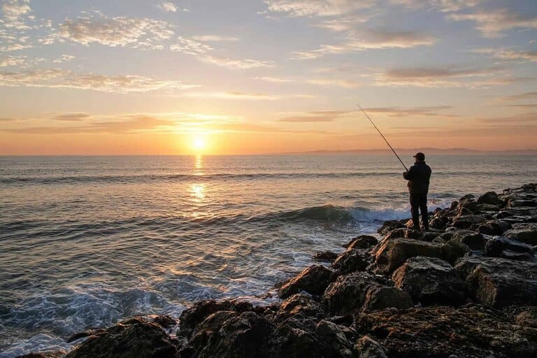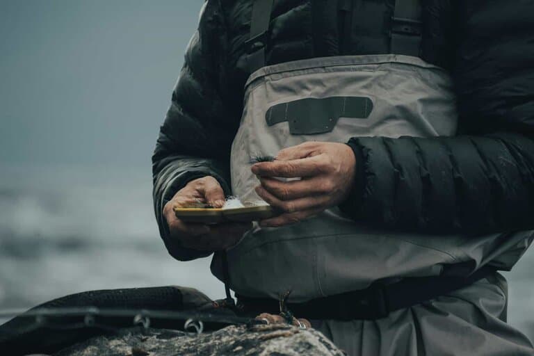
Kelly Island doesn’t look like much from the parking lot — a gravel access off Spurgin Road, close to downtown Missoula, wedged between the river and the railroad tracks. The lot looks like it should lead to a storm drain and a shopping cart. It leads to real trout water instead.
The access is the whole appeal: no shuttle, no tubes, just walk-in water a short hike from the lot. A drift boat with somebody on the oars waiting on your next cast is a lot of pressure when you’re still sorting out your mend. Nobody’s waiting on you here. You can spend twenty minutes on one run, blow it, and try it again, and the only one keeping score is the trout.
What’s actually in the water
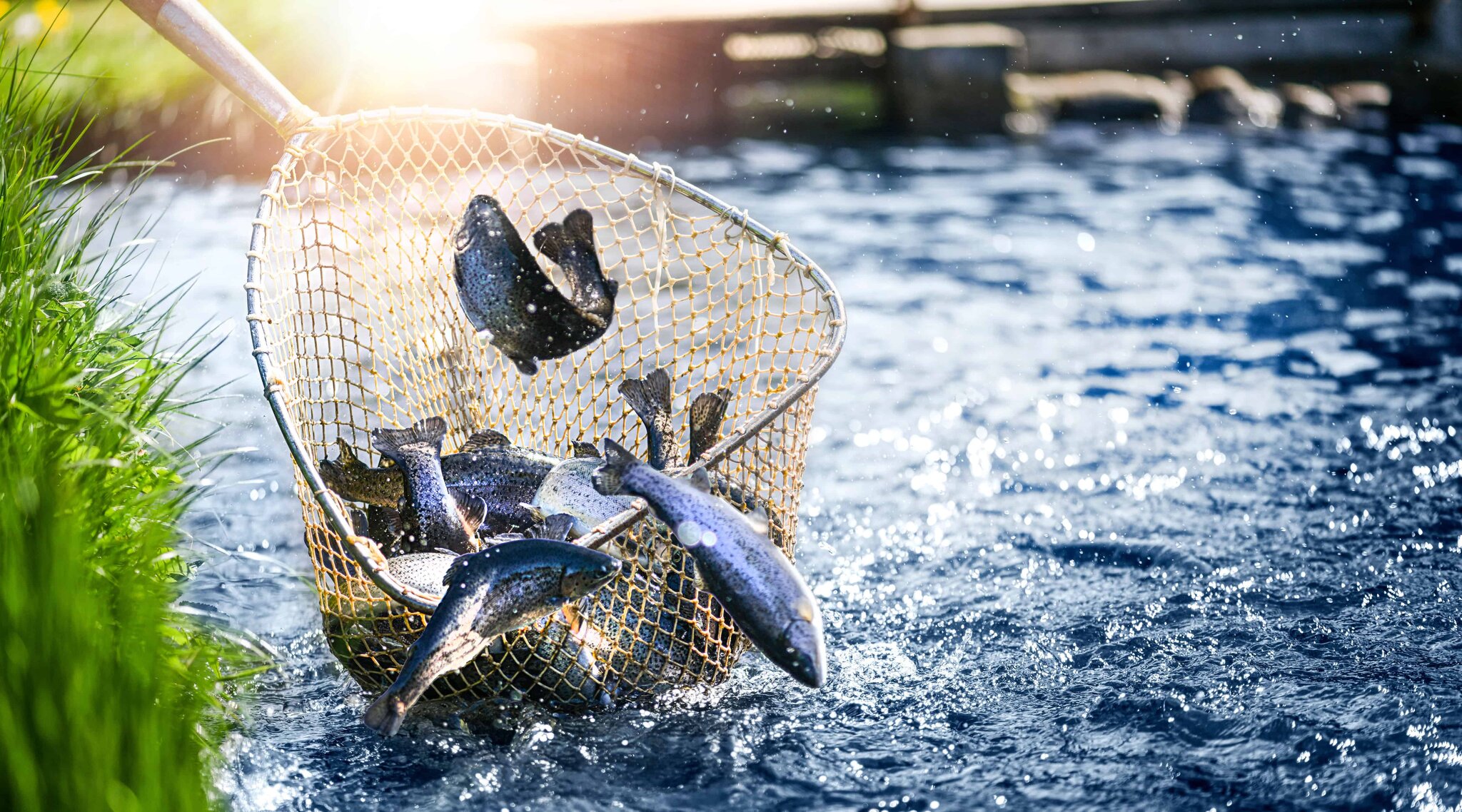
Brown trout, rainbows and mountain whitefish all work this stretch. It isn’t a secret hole. It’s a legit urban trout fishery that happens to sit ten minutes from downtown, and that still strikes me as strange, because water this good usually makes you drive for it.
Getting there
From downtown: south on Reserve, west on Spurgin, and follow it to the FWP gravel lot. There’s no boat launch — Kelly Island is walk-in only, which sounds like a downside until you notice the pressure is lighter than you’d expect for trout water this close to a college town. Park, grab your rod, and the river’s a short walk away.
Three fish, one over 14
This section falls under the Perkins Lane Bridge (near Warm Springs) to Flathead confluence regulations: a combined trout limit of three a day and three in possession, with only one over 14 inches. Those are the 2026 numbers. Montana adjusts them often enough that an old limit isn’t worth carrying around in your head, so check the current FWP booklet and emergency-restrictions page before you fish.
The rule that can end your day early
Summer restrictions move faster than anything written about them. As of September 10, 2026, Montana FWP’s waterbody-restrictions page doesn’t list the Clark Fork under an active hoot-owl restriction. Emergency restrictions go out by specific reach and condition, not as one blanket rule for everything upstream of the Flathead confluence, so the page is the answer — not a guess based on how hot the afternoon feels.
What the 2026 regulations do require is artificial lures within 100 yards of several named tributary mouths, including Rattlesnake Creek. That’s a tackle restriction, not a permanent no-fishing buffer. Near those mouths, the bait stays in the truck.
I still plan on hoot owl the way I plan on August showing up. In a hot summer it’s part of fishing this river, even in a year where the page comes up clear in September, and the reason is simple: a trout fought hard in warm water can swim off looking fine and die an hour later somewhere you’ll never see it. When a cutoff is on, fish the cool morning, quit when you’re supposed to, and find something else to do with the afternoon.
Why I check the flow before I check anything else
Summer flows on the Clark Fork swing a lot depending on snowpack and how much water upstream irrigation is pulling that week. The USGS gauge at Missoula takes two minutes to pull up, and it’s the difference between showing up for the river somebody described last week and showing up for the one that’s actually there, which can be carrying a lot less water.
Before you go
Current regulations, closures and hoot owl status come straight from Montana Fish, Wildlife & Parks, and the USGS streamflow gauge for the Clark Fork at Missoula has the flow. For a same-day read on access and conditions at this exact spot, Field Sense Navigator carries it as a named public water.
I’ll take a trout stream that forgets it’s in a city over a postcard spot that eats half a day just getting there. Kelly Island earns the drive by barely needing one.