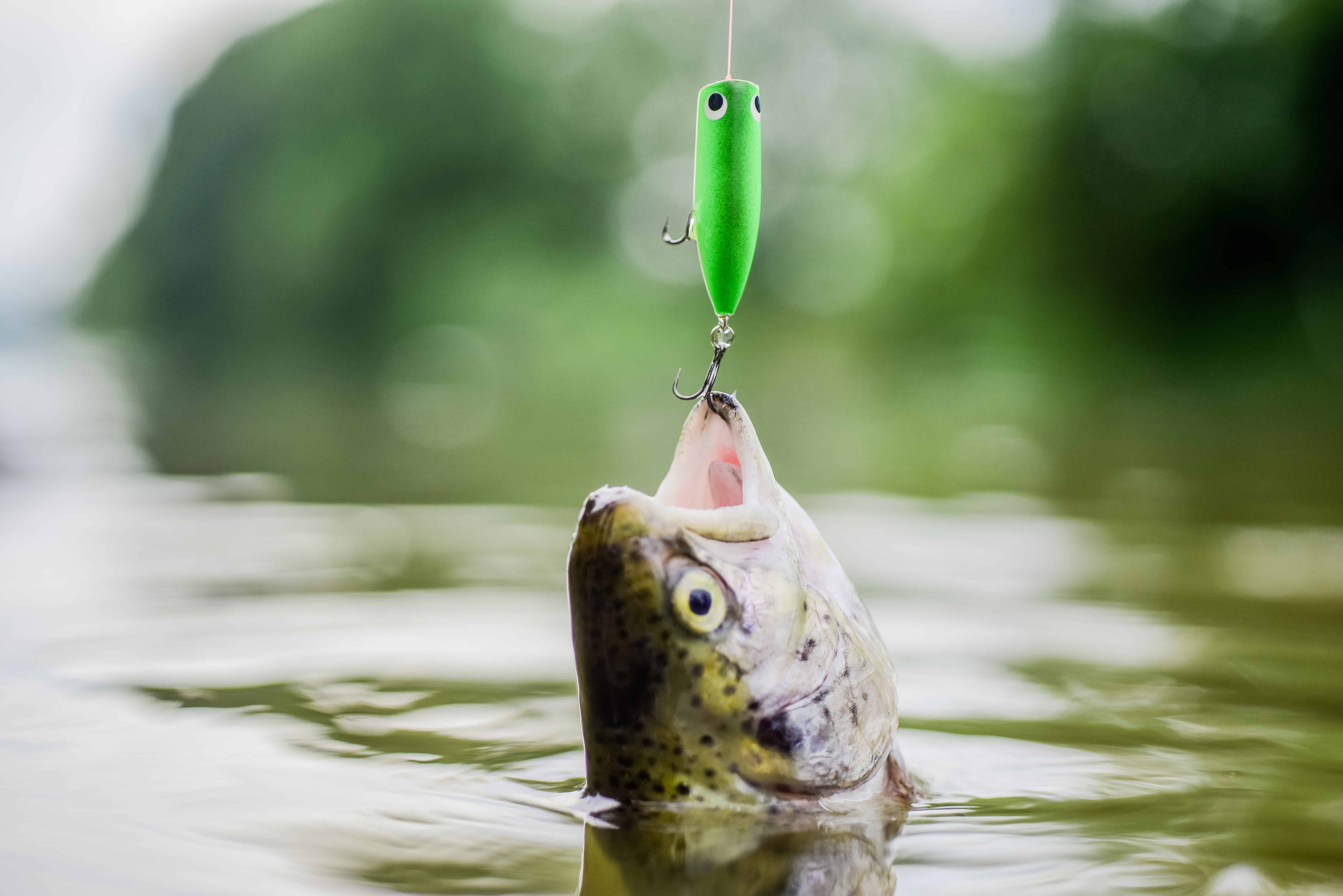
Most rivers, I plan around the hatch. The Lower Provo, you plan around the property line first. It’s some of the best brown and rainbow trout water in Utah, and both the regulations and the public access change depending on exactly which stretch your boots are in.
FIELD PLATE · ACCESS
Reading this water is the second job here. Knowing whose bank you are on is the first.
Two very different rivers wearing one name
From Deer Creek Dam down to Olmstead Diversion Dam, the Lower Provo runs as a classic tailwater: clear, cold, oxygen-rich water let out of the dam, close in character to the better-known Middle Provo upstream. Below Olmstead the personality changes. Brisk tailwater flow gives way to shallower riffles and pocket water, and the river warms gradually on its way to Utah Lake.
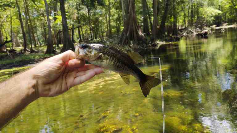
Browns and rainbows run the show the whole way, with mountain whitefish and cutthroat in there too. Fish in the well-fed tailwater sections can reportedly grow past 20 inches. I’d want a current survey behind that number before I built a trip on it, because “can grow past” and “you’re going to catch one” are very different sentences.
Who owns the bank
Right below Deer Creek Dam, access is solid. That ground is Deer Creek State Park, with a boat ramp, parking and river access kept up for anglers, and Utah’s Division of Wildlife Resources has kept putting money into it, boat ramp improvements included.
Downstream it gets murky, and not the water. Recent private land purchases along parts of the Lower Provo have cost anglers access they used to have. People have been told they’re trespassing on stretches that used to carry a recognized easement, and those reports are on the record. The question that would settle most of it — whether the river counts as legally navigable — still hasn’t been answered.
I haven’t fished the Provo. Utah is outside anywhere I’ve been, so all of this comes from Utah DWR material and published reporting. I’d rather say that once and mean it than hedge every line, because a rule you half-believe is a rule you end up breaking.
Don’t trust last year’s spot
A stretch that used to be open might not be anymore, so I wouldn’t assume. Along the lower reach, from I-15 through town up to Olmstead Diversion, access is a handful of specific points, not one continuous public corridor. From the mouth of Provo Canyon up to Deer Creek Dam you can reach the river at various spots along Highway 189, and that’s generally more dependable than the urban stretch. Check current Utah DWR regulations and access status section by section before every trip — not once for the whole river.
The limit depends on where you are
From Olmstead Diversion Dam upstream to Deer Creek Dam, the 2026 Utah fishing guidebook allows 2 trout under 15 inches, artificial flies and lures only. Below Olmstead the trout rules drop back to statewide, so bait is allowed and the tailwater restrictions don’t follow you. Down below I-15 toward Utah Lake there are extra rules on suckers, walleye and pike. Don’t mix this up with Legacy Bridge, either. That’s up in Midway on the Middle Provo, above Deer Creek Reservoir, where the 2-under-15 rule starts again and runs to Jordanelle Dam. Keeping a fish on the wrong side of that line is how a good day turns into a citation.
The part nobody warns you about is how ordinary a boundary looks from the bank. There’s no stripe painted across the river. Save the regulation and a map of the section on your phone before you walk in, and it quits being a guessing game — nobody gets graded on remembering it.
Timing follows snowpack
Spring and early summer, when the water runs higher, are often the best of it. The tailwater sections stay fishable through more of the year than a typical freestone stream, though, since dam releases keep the temperature in range.
Ten minutes with a map
The Lower Provo is a named public water in Field Sense Navigator, which shows today’s access and conditions. On most rivers that’s a convenience. Here the access has shifted in the last few years and may keep shifting, and a fish past 20 inches doesn’t do you much good if you caught it standing in somebody’s backyard.
FIELD OBJECT
This one should leave the page.
The article is the long version. These are the pieces worth carrying into the next trip.
The 30-second version
On the Lower Provo the property line comes before the hatch. Access has shrunk along parts of the river, and the trout limit changes depending on which side of Olmstead Diversion you’re standing on.
What to watch
- Two very different rivers wearing one name
- Who owns the bank
- Don’t trust last year’s spot
- The limit depends on where you are
Field card
- Two very different rivers wearing one name
- Who owns the bank
- Don’t trust last year’s spot
- The limit depends on where you are
- Timing follows snowpack
RIGHT TOOL, NEXT
Field Sense Navigator
Take the article’s water or access question into a place-specific conditions and route check.