Category
Trips & Water Profiles
The drive is part of the fishing. These are public-water profiles, access checks, unfamiliar-water reads and backup plans for when the place on the map does not behave the way the plan in the truck did. Use Field Sense Navigator for a current public-water check.
Everything filed under this heading, newest first.

North Umpqua: The River They Call the Graduate School of Fly Fishing
The North Umpqua’s reputation was built on wild summer steelhead and fly-only canyon water. In 2023 Oregon closed that fishery for poor returns, which changes how much weight the old nickname should carry.
White River, Arkansas: What Changed in the Regulations This Year
Two hatchery failures rewrote the White River’s trout limits twice in a few months — so the rules, and the generation schedule, need checking the week you go.
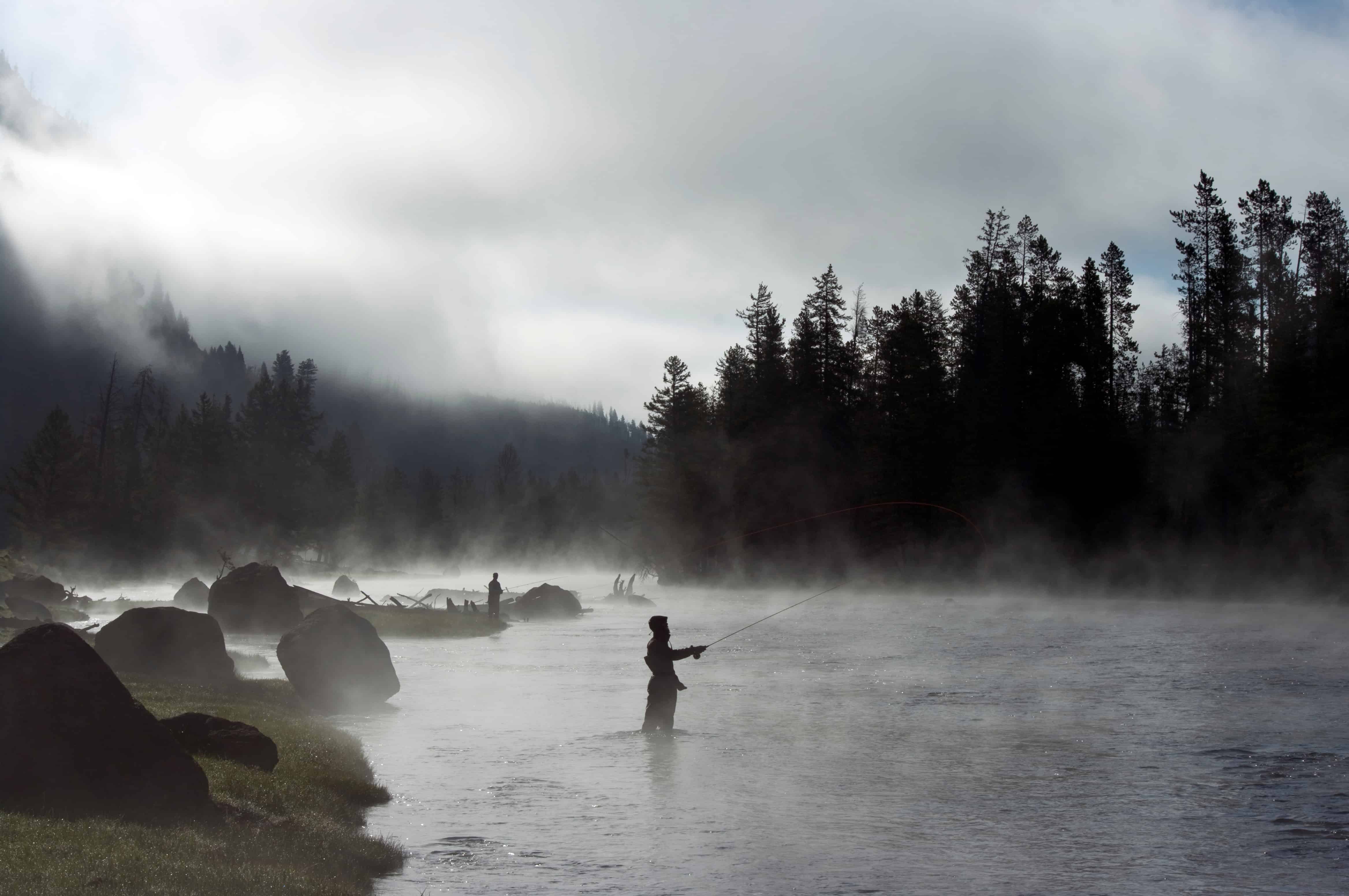
Housatonic River: Excellent Trout Water With One Detail Worth Knowing
The Housatonic’s trout water makes plenty of Northeast lists. The PCB advisory on that same stretch mostly doesn’t, and it only matters once you’re deciding whether a fish goes home with you.
Lower Provo River: Read the Access Map as Carefully as the Water
On the Lower Provo the property line comes before the hatch. Access has shrunk along parts of the river, and the trout limit changes depending on which side of Olmstead Diversion you’re standing on.

West Branch Delaware: Wild Trout as a Water Supply Reservoir’s Side Effect
Browns and rainbows were brought to the West Branch Delaware, and brookies were already home. Nobody stocks any of them now, and a New York City drinking-water dam is why the river can hold them.
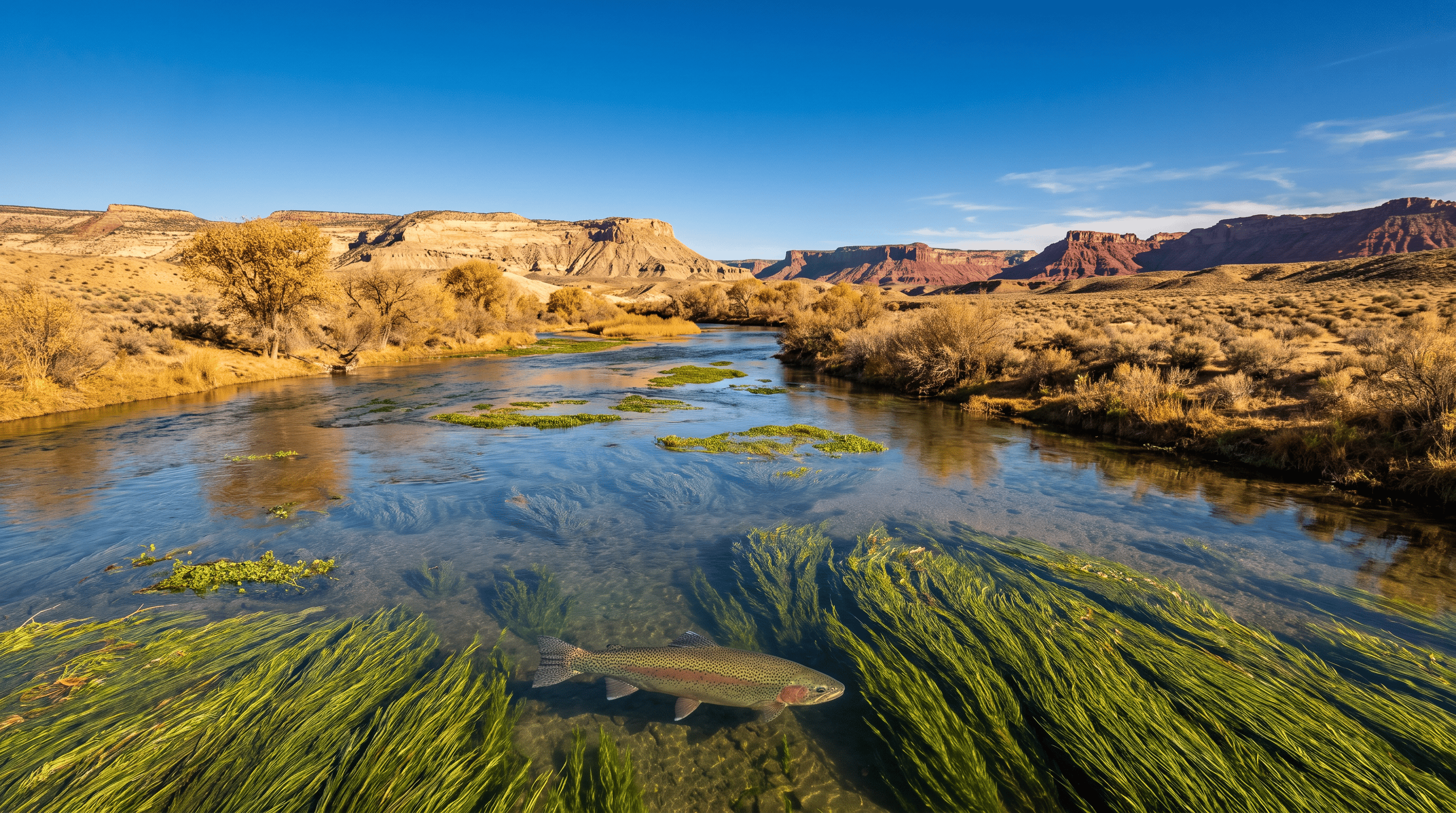
San Juan River Below Navajo Dam: A Desert River That Forgot to Act Like One
Cold, clear, crowded trout water has no business running through the New Mexico high desert. A bottom-release dam is why it does, and why the flow number matters more than last month’s report.

Clark Fork River at Kelly Island: Real Trout Water Ten Minutes From Downtown Missoula
Kelly Island is a gravel lot between the Clark Fork and the railroad tracks, ten minutes from downtown Missoula. You walk in, no boat needed, and the summer rules are worth a look before you string up.
Beaverhead River: Montana’s Fish Factory Disguised as an Irrigation Ditch
The Beaverhead can hold extraordinary trout density in a very small river. It can also change fast enough that old advice becomes unsafe. Read the system, then check the current FWP restriction before you drive.
Missouri River, Toston to Canyon Ferry: The Stretch the Calendars Skip
The Missouri between Toston and Canyon Ferry is walleye, pike and carp water these days, and most people headed for Craig drive right past it. With that much public bank, that’s their loss.
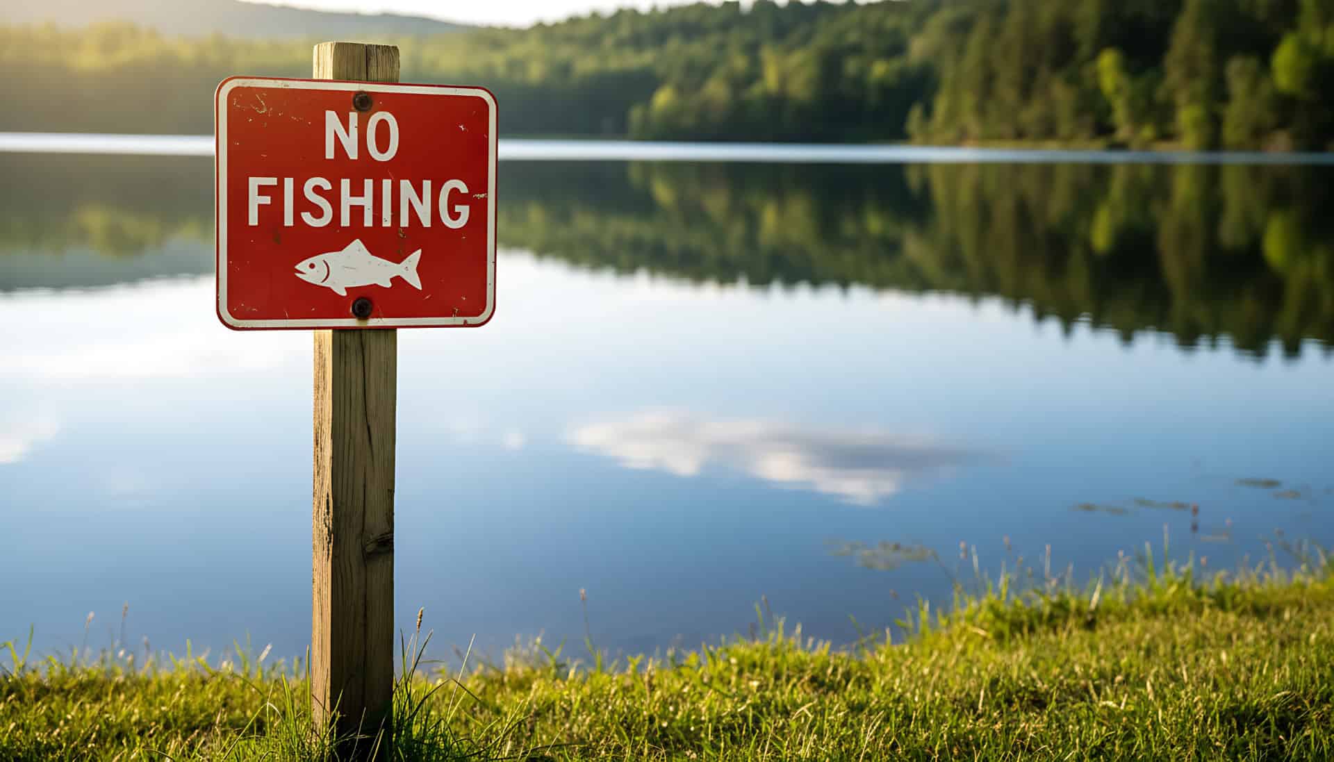
The Fishing Spot Starts at the Parking Area
A seam nobody’s fishing doesn’t do you much good if the only place to park is in front of somebody’s gate. A shore spot starts at the road, and it isn’t done until you’ve walked back out.