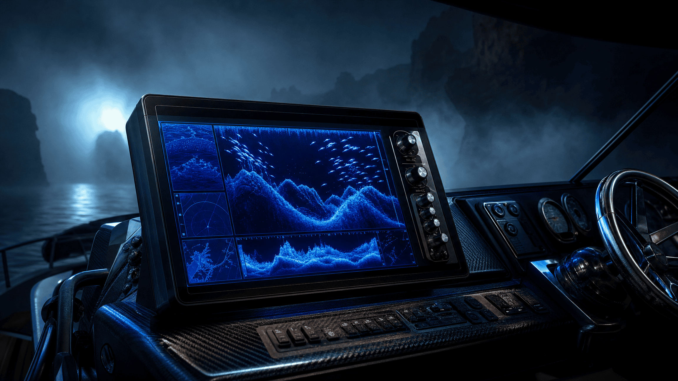
The screen says 10 ft.
That looks like a fact, and part of it probably is. Something in the unit picked up a return, processed it, and decided “10 ft” was the useful thing to show you.
The trouble starts when one clean number gets promoted into five different claims.
The device sensed something, and software did some math on that signal. The display simplified the result, the manufacturer gave the feature a name, and then somebody in a boat turned all of it into a fishing conclusion.
Those steps are connected. They aren’t the same step, and pulling them apart one claim at a time is what Rig Signal does.
A temperature sensor doesn’t measure “the lake”
Temperature is a good example because the number feels so straightforward.
A sensor measures temperature where the sensor is, when the reading is taken. Depending on the device, that might be near the transducer, near the surface, inside a probe, or somewhere else entirely.
If the screen says 67°F, you’ve got a temperature reading. You don’t automatically have “the lake temperature.” A shallow protected cove, the main basin, water ten feet down and water forty feet down can all be different. Wind can mix layers and sun can warm the surface. In some seasons a lake can develop a thermocline, which is a layer where temperature changes quickly with depth.
The device can be perfectly accurate and the conclusion can still be too big.
So the next question is where the sensor actually sits, how recent the reading is, and whether that spot tells you anything about the water you’re about to fish.
A sonar return is not a fish icon
Sonar makes the separation even easier to see.
The transducer sends sound into the water and receives echoes. Those returns carry information about distance and signal strength, and the unit processes them into something it can draw on the screen.
If fish icons are turned on, the software may take a return pattern and stamp a little fish shape on it. The icon isn’t what the transducer sensed. It’s the unit’s interpretation of the return.
That doesn’t make fish icons useless. It just means they’re one step further from the water than the rawer return underneath them.
If the device marks three fish at twelve feet, I wouldn’t jump straight to “three fish are suspended at twelve feet and want this lure.” I’d start smaller: the unit thinks some returns around that depth look like fish. What do the arches actually look like? Do they show up again on another pass? Is there bait nearby, and is the bottom clean enough that the separation is believable?
Now the device is helping you ask a better question instead of ending the question for you.
A contour line may be older than your assumptions
Maps have their own version of the same problem.
A contour on a chart is an estimate or measurement from some source dataset. How good it is depends on how that data was collected, how dense and how old the measurements are, how water level is referenced, and how much got interpolated between known points.
A crisp line on a high-resolution screen makes the information underneath feel just as crisp.
Sometimes it is. Sometimes it’s a decent approximation drawn between measurements nobody ever took exactly where your boat is sitting.
If the map shows a sharp break at twenty feet while your sonar keeps showing bottom at seventeen, that doesn’t automatically mean one of them is broken. First check whether they’re even answering the same question from the same reference.
Processing is where clean displays get dangerous
Most devices have to process information. Raw signals are messy, and nobody wants a screen that needs a signal-processing degree before breakfast.
Filtering, averaging, smoothing, target identification, interpolation, automatic gain and other processing can make the display far easier to use. That’s a feature.
It also means the display isn’t always a direct window into the sensor.
That steady number might be an average. The “target” might be a classification, and the depth might have been picked out of competing returns. A map can blend several data sources into one smooth picture. The device can be doing exactly what it was designed to do and still hide some uncertainty from whoever’s looking at it.
I don’t need to know every algorithm before I use a fish finder. I do want to know enough about the chain that I don’t give the final display more certainty than the measurement earned. The fish-finder basics show what the rawer return is actually asking you to notice.
Work backward before you move the boat
When a device hands me a clean number, symbol, contour, alarm or recommendation, I want to know what’s underneath it before I make the fishing decision any bigger.
What did the hardware actually sense, and where? Is it a live reading at the transducer, a remote probe, or a contour built from older survey data? Then comes the software question: did the unit average, classify, interpolate, filter or otherwise simplify the signal before I saw it?
Only after that do I care about the fishing conclusion. Moving deeper because a temperature probe changed is different from moving because one fish icon showed up. And using a contour as a starting point isn’t the same as treating it like somebody measured the bottom directly under your boat five minutes ago.
The device doesn’t have to be wrong for the conclusion to be too big.
None of this is a case against electronics
Good electronics can show depth changes you’d never feel from the bank, help you see structure and temperature differences, track speed, improve navigation, and give you a much better picture of what’s under the boat. I’m not trying to talk anybody out of that.
The useful habit is keeping the device and the conclusion apart long enough to look at what connects them.
For a harder version of the same problem, the forward-facing sonar research piece separates what the technology shows from what anglers infer from it. If you want to run the chain from sensor to fishing decision on your own electronics, Rig Signal’s Device Reality Check walks through it, and it pairs well with the five-minute conditions snapshot.
I don’t need the screen to be perfect. I need to know what it actually knows before I let it make my next move.
FIELD OBJECT
This one should leave the page.
The article is the long version. These are the pieces worth carrying into the next trip.
The 30-second version
A fish finder can show you a clean number without showing you how it got there. Before you trust the answer, figure out what the device actually measured.
What to watch
- A temperature sensor doesn't measure “the lake”
- A sonar return is not a fish icon
- A contour line may be older than your assumptions
- Processing is where clean displays get dangerous
Field card
- A temperature sensor doesn't measure “the lake”
- A sonar return is not a fish icon
- A contour line may be older than your assumptions
- Processing is where clean displays get dangerous
- Work backward before you move the boat
RIGHT TOOL, NEXT
Tackle Link Analyst
Follow the load path and find the part of the setup that actually limits the rest.